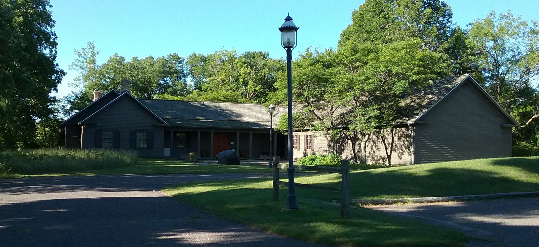
At The Charles A. Weyerhaeuser Memorial Museum, we are feeling the effects of climate change. Because we are perched high on a riverbank overlooking the confluence of the Mississippi River and Pike Creek, whatever impacts the river and its shore is something we pay close attention to.
Due to the action of the Mississippi River and the massive atypical downpours we’ve experienced the past number of years, the riverbank upon which the museum sits has suffered severe erosion. The solution is to rip-rap the shoreline, a huge and expensive (approximately $75,000) undertaking that will take expertise to do correctly. Within this process, we plan to conduct a Section 110 survey of the museum’s site to search for potential archaeological evidence. Being at the confluence of two rivers, as the museum is, it’s a sure bet that this was a gathering spot for previous peoples.
Given our situation, it was serendipity that we ran across the National Park Service’s Cultural Resources Climate Change Strategy online. We share it here in case other cultural resources need the guide.


We are concerned about erosion on the riverbanks between the Blanchard dam and Little Falls dam.
Hi, Judy – Our museum is located between the Little Falls Dam and Blanchard Dam, so we feel your pain. According to the natural resources people we have spoken to, erosion isn’t unusual, however, when you’ve got a building dependent upon stable shoreline, the erosion is still a problem.
Thanks for sharing your comment.
Mary Warner
Executive Director