Pop art clock, MCHS collections. Please be advised that during inclement weather, if local schools are closed, we will be also. Call us, 320-632-4007, if you wish to be sure we are open.
**************************
The Weyerhaeuser Museum is open for public visitation.
**************************
Regular Hours:
Wednesday-Friday 10:00 AM to 4:00 PM
Saturday 10:00 AM to 3:00 PM
Closed Sunday-Tuesday
Researchers & group tours of 10 or more, please call ahead so staff can arrange for your visit. Call 320-632-4007.
Open year-round, except for major holidays, off-site events, bad weather, significant building repairs & upgrades, and pandemics. Watch website for info on closings.
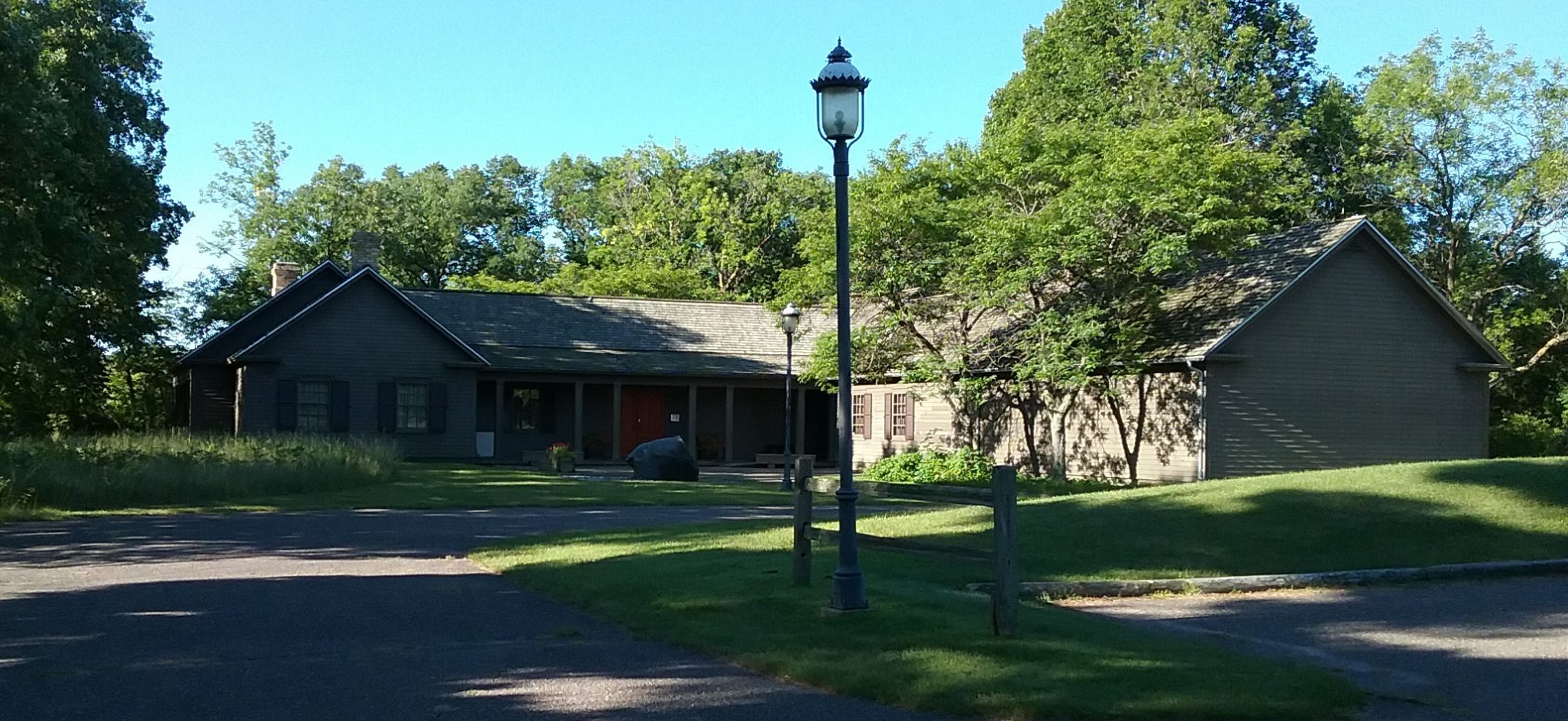
The museum is located in Little Falls, Minnesota, at 2151 South Lindbergh Drive, just south of the Lindbergh Historic Site.
Google Maps will show you the way.
Candlestick phone, MCHS collections. 2151 South Lindbergh Drive
320-632-4007
Email
Today is history. Live it, save it, share it.
The Morrison County Historical Society is dedicated to the preservation and sharing of Morrison County’s history. It owns and operates The Charles A. Weyerhaeuser Memorial Museum in Little Falls, Minnesota.
Join 871 other subscribers
